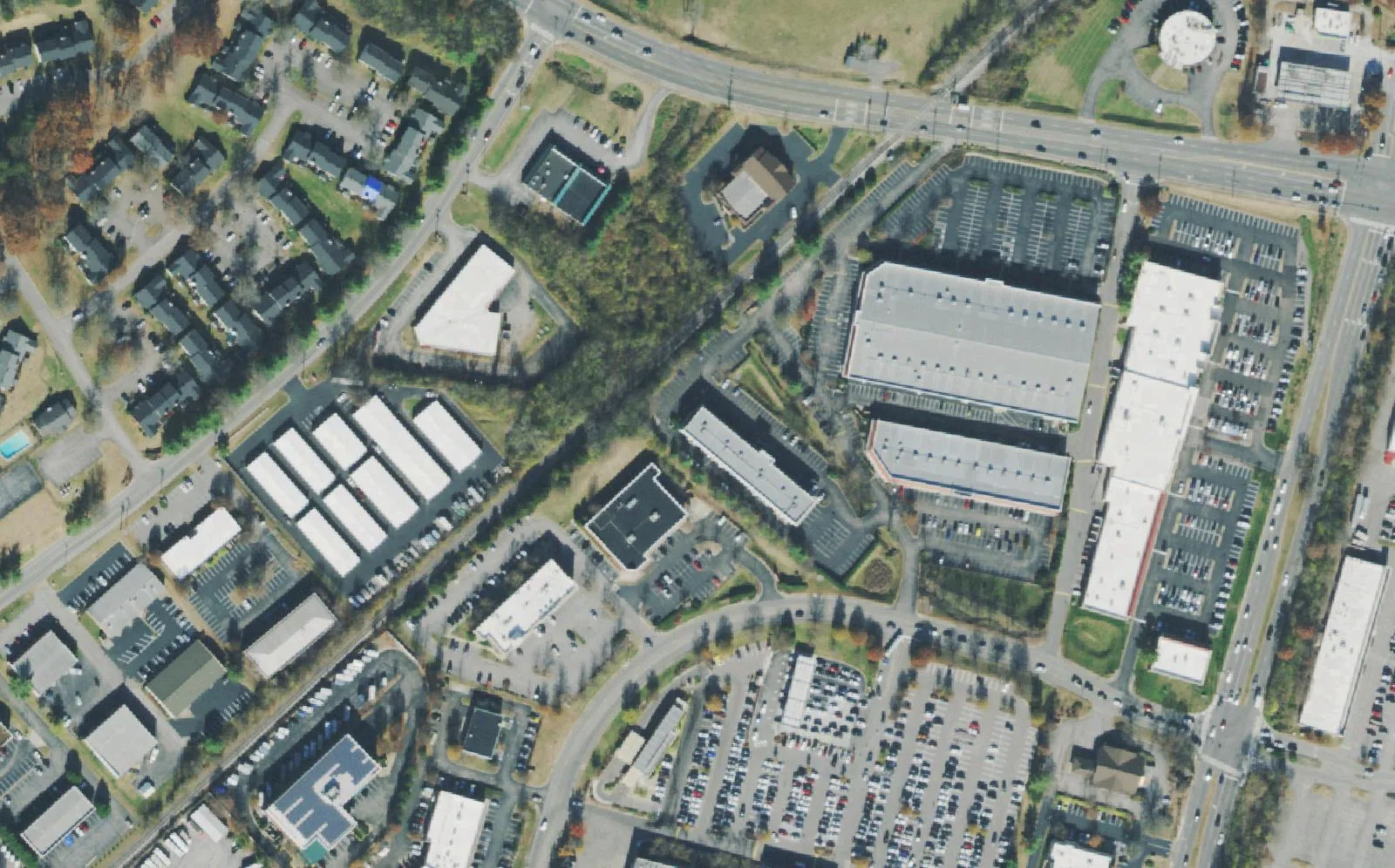
Brentwood's corner of Cool Springs at I-65 exit 69, where Brentwood Pointe is zoned for Franklin High and Mooreland Estates for Brentwood High.
Last checked Oct. 18, 2026. Sources: the City of Brentwood’s subdivision, address and city limit layers and its Brentwood 2030 Plan; the 2023 Williamson County Schools boundaries on the City of Franklin’s planning map, checked with the WCS zoned school finder; the Tennessee Department of Education’s 2024-25 letter grades; Zillow Research; and OpenStreetMap.
Cool Springs is mostly Franklin, but its north end is Brentwood. Around the Moores Lane interchange (I-65 exit 69), Mallory Lane and Seaboard Lane carry warehouse stores, offices and business parks inside the Brentwood city limit, with two large subdivisions beside them. The city’s 2030 Plan describes Brentwood as “a regional workplace which attracts commuters from across middle Tennessee into the Maryland Farms and northern Cool Springs areas,” and the business survey for its 2016 update found the east and west parts of Cool Springs together held about 26% of the city’s businesses.
This is also the one part of Brentwood where most homes are zoned for a Franklin high school.
What this means for you
- Zoned high school: split. Brentwood Pointe is zoned for Franklin High; Mooreland Estates and Valle Verde for Brentwood High, in the 2023 boundaries. Franklin High was graded A for 2024-25 and Brentwood High B.
- Home value: $1,220,331 in ZIP 37027 in September 2026, according to the Zillow Home Value Index.
- Nearest I-65 exit: exit 69 (Moores Lane), about 1.3 miles by road.
Part of our Brentwood neighborhoods guide.
Where it is
For this guide the area is the city west of I-65 and south of the Willowick and Brentwood South streets, down to the Franklin city line: Moores Lane (State Route 441) across the north, Mallory Lane and Franklin Road (U.S. 31) running south, and the CSX rail line between them. It is all in ZIP code 37027. The plan names Moores Lane from Mallory Lane to Carothers Parkway as one of the city’s primary gateways. OpenStreetMap marks the Cool Springs district itself just south of the line, in Franklin.
Homes
The city’s address map lists about 680 residential addresses here, in three subdivisions: Brentwood Pointe (about 340), Mooreland Estates (about 290) and Valle Verde (about 40). The rest of the area is commercial, in business parks on the city’s map such as Crossroads South, Patton Business Park, Brentwood I-65 Park and the Moores Lane Interchange Industrial Park.
Schools
Zones are the 2023 board-approved Williamson County Schools boundaries; the district’s live finder gave the same high school at every subdivision we checked. Grades are each school’s overall letter grade on Tennessee’s 2024-25 state report card.
| Subdivisions | Elementary | Middle | High |
|---|---|---|---|
| Brentwood Pointe | Walnut Grove (A), 326 Stable Road, Franklin | Grassland (C), 2390 Hillsboro Road, Franklin | Franklin (A), 810 Hillsboro Road, Franklin |
| Mooreland Estates, Valle Verde | Lipscomb (A), 8011 Concord Road | Brentwood (A), 5324 Murray Lane | Brentwood (B), 5304 Murray Lane |
By address, about 56% of the area is in the Franklin High zone and 43% in the Brentwood High zone. Check one address in the WCS zoned school finder. More in our schools guide.
Home values
The typical home value in ZIP code 37027 was $1,220,331 in September 2026, up 4.3% from $1,169,780 in September 2025, according to the Zillow Home Value Index. The index is a modeled typical value for the middle third of homes, not a sale price, and 37027 covers the whole city, so it is not a figure for this area alone. The City of Brentwood figure was $1,388,985, up 4.1%. Homes here pay Brentwood’s 2025 property tax rate, $1.49 per $100 of assessed value, the same as the rest of the city, according to the Tennessee Comptroller. More in our home prices and property taxes guides.
Parks and trails
There is no city park inside the area. Flagpole Park, at the north end of Mallory Lane beside I-65, is just to the north: 8.7 acres with two multipurpose fields, a half-court basketball court and a walking trail, per the park page. See Franklin Road and West Concord Road and our parks and trails guide.
Getting around
- Interstate: I-65 exit 69 (Moores Lane) is about 1.3 miles by road from the middle of the area; exit 68 (Cool Springs Boulevard) is about 1.6 miles and exit 71 (Concord Road) about 3.4.
- Town Center: about 5.9 miles by road to Franklin Road at Church Street East.
- Airport: about 16.9 miles by road to Nashville International Airport (BNA).
- Bus: WeGo Public Transit has no bus stop inside Brentwood; see our getting around guide, which lists the Cool Springs park-and-ride.
Distances are measured on the OpenStreetMap road network with the OSRM routing engine from a home near the middle of the area; they are distances, not drive times.
Groceries and everyday stores
From OpenStreetMap, inside or next to the area:
- ALDI, 1701 Mallory Lane.
- Costco, 98 Seaboard Lane, and Gordon Food Service Store, 95A Seaboard Lane.
- Publix, 8105 Moores Lane, east of I-65.
- CVS Pharmacy, 1701 Galleria Boulevard, just over the line in Franklin.
How we drew this area
The area is Brentwood’s share of the Cool Springs district west of I-65, from Moores Lane to the city limit, as described in the 2030 Plan, with the subdivisions and business parks on the city’s map, checked Oct. 18, 2026. Address counts and school shares come from the city’s address points and the 2023 WCS boundaries. Store locations are © OpenStreetMap contributors.
Frequently asked questions
Is Brentwood Pointe zoned for Brentwood High or Franklin High?
Franklin High. In the 2023 Williamson County Schools boundaries, and in the district’s live zoned school finder, Brentwood Pointe is zoned for Walnut Grove Elementary, Grassland Middle and Franklin High, even though it is inside Brentwood.
Which schools serve Mooreland Estates in Brentwood?
Lipscomb Elementary, Brentwood Middle and Brentwood High, in the 2023 boundaries. Valle Verde is zoned the same way.
Is Cool Springs in Brentwood or Franklin?
Both. The CoolSprings Galleria and most of the Cool Springs shopping district are in Franklin, but the stores and homes along Mallory Lane and Moores Lane north of the Franklin line are inside Brentwood, with Brentwood addresses in ZIP 37027.
Is Brentwood Pointe a good place to live?
Here are the facts. Brentwood Pointe is a subdivision of about 340 homes near I-65 exit 69, next to ALDI and Costco, zoned for Franklin High, graded A for 2024-25; the typical home value in ZIP 37027 was $1,220,331 in September 2026, according to Zillow.
Have your say