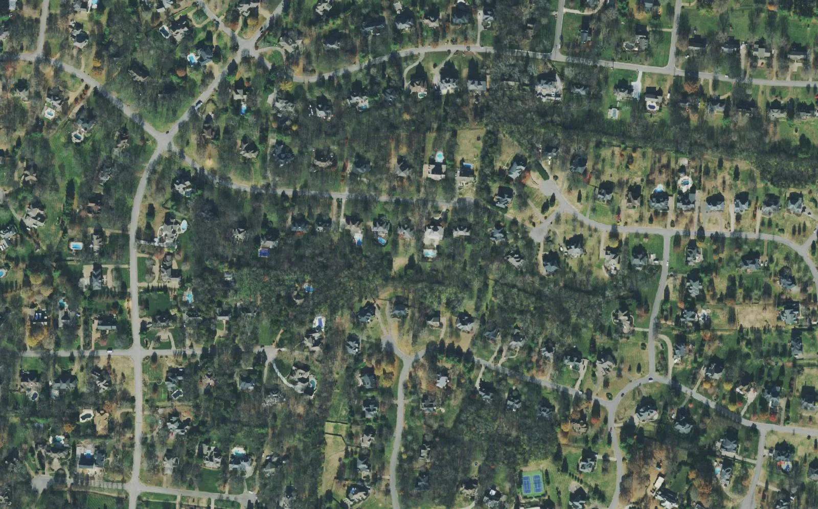
Brentwood's 10 main areas, from Town Center and Maryland Farms to Split Log Road, with zoned schools, parks and the ZIP 37027 Zillow home value.
Last checked Oct. 18, 2026. Sources: the City of Brentwood’s map layers (city limits, subdivisions, zoning and address points) and its Brentwood 2030 Plan; the 2023 board-approved Williamson County Schools boundaries on the City of Franklin’s planning map, checked against the WCS zoned school finder; the Tennessee Department of Education’s 2024-25 letter grades; Zillow Research; the Census Bureau’s QuickFacts; and OpenStreetMap.
Brentwood is a city of about 45,600 people in northern Williamson County, on the Davidson County line south of Nashville, according to the Census Bureau’s 2020-2024 American Community Survey. It is mostly houses: about 90% of homes are owner-occupied, and about 90% of the city’s acreage is zoned residential at one home per acre, the city’s history page says.
Interstate 65 runs north and south through the west side, with exits 74 (Old Hickory Boulevard), 71 (Concord Road) and 69 (Moores Lane). Franklin Road (U.S. 31) runs beside it past the offices and shops of Maryland Farms and Town Center. East of the interstate, Concord Road (State Route 253) crosses the whole city from west to east, and Wilson Pike, Edmondson Pike, Split Log Road and Sunset Road carry traffic north and south between the subdivisions. The Little Harpeth River and the city’s bikeway run through the middle, past Crockett Park and the library.
The whole city is in ZIP code 37027: all but two of the 17,355 addresses on the city’s address map carry it. That ZIP code also reaches outside the city limit, so a Brentwood mailing address does not prove a home is inside the city. Grassland Elementary on Manley Lane, for example, has a Brentwood address but sits outside the city.
Public schools are run by Williamson County Schools (WCS), not the city, and zones do not follow neighborhood lines. Taxes, on the other hand, do not change from one area to the next: every home inside the city pays $1.49 per $100 of assessed value, $0.19 for the city and $1.30 for the county, according to the Tennessee Comptroller’s 2025 Tax Aggregate Report and our property taxes guide.
What this means for you
- Check the address, not the neighborhood. About 62% of the addresses on the city’s map fall in the Brentwood High zone and about 33% in the Ravenwood High zone; a few are zoned for Franklin or Nolensville High. Use the WCS zoned school finder.
- Home value: $1,220,331 in ZIP 37027 and $1,388,985 for the city in September 2026, according to the Zillow Home Value Index.
- Utilities change across town. Electricity comes from Nashville Electric Service or Middle Tennessee Electric, and water from the city or a utility district, depending on the address. See moving to Brentwood.
The areas at a glance
| Area | ZIP | Zoned high school (2023 boundaries) | Typical home value in its ZIP, September 2026 | Guide |
|---|---|---|---|---|
| Town Center and Maryland Farms | 37027 | Brentwood | $1,220,331 | Town Center and Maryland Farms |
| Murray Lane and Granny White Pike | 37027 | Brentwood | $1,220,331 | Murray Lane and Granny White Pike |
| Franklin Road and West Concord Road | 37027 | Brentwood | $1,220,331 | Franklin Road and West Concord Road |
| Cool Springs and Moores Lane | 37027 | Franklin (south of Moores Lane), Brentwood (north) | $1,220,331 | Cool Springs and Moores Lane |
| Wilson Pike and Old Smyrna Road | 37027 | Mostly Brentwood; Ravenwood near Crockett Road | $1,220,331 | Wilson Pike and Old Smyrna Road |
| Edmondson Pike | 37027 | Mostly Brentwood | $1,220,331 | Edmondson Pike |
| Concord Road East and Bluff Road | 37027 | Ravenwood, Brentwood or Nolensville | $1,220,331 | Concord Road East and Bluff Road |
| Crockett Park and Brenthaven | 37027 | Split between Brentwood and Ravenwood | $1,220,331 | Crockett Park and Brenthaven |
| Raintree and Ravenwood | 37027 | Mostly Ravenwood | $1,220,331 | Raintree and Ravenwood |
| Split Log Road and Sunset Road | 37027 | Mostly Ravenwood; Nolensville for a few streets | $1,220,331 | Split Log Road and Sunset Road |
The home value is the Zillow Home Value Index for ZIP code 37027, a modeled typical value for the middle third of homes, not a sale price. Because the whole city shares one ZIP code, the figure is the same in every row and does not describe any one area. It was up 4.3% from $1,169,780 in September 2025. On the 2024-25 state report card, Ravenwood High was graded A, Franklin High A, Nolensville High A and Brentwood High B.
Map
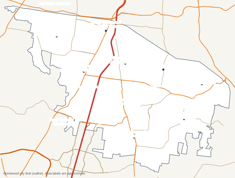
Map by Brentwood Journal from the City of Brentwood’s city limit layer. Roads © OpenStreetMap contributors. Area labels are approximate and are not legal boundaries or school zones.
Town Center and Maryland Farms
The city’s commercial center on Franklin Road at Old Hickory Boulevard: the Town Center district, the Hill Center, the Maryland Farms office park, City Hall and apartments on Centerview Drive, plus older streets such as Iroquois Estates. Read the Town Center and Maryland Farms guide.
Murray Lane and Granny White Pike
The northwest, from Granny White Pike to Hillsboro Road, with River Oaks, Meadow Lake, Belle Rive and Windstone, Brentwood High and Middle, Granny White Park and Deerwood Arboretum. Zoned for Scales Elementary. Read the Murray Lane and Granny White Pike guide.
Franklin Road and West Concord Road
West of I-65 between Murray Lane and Moores Lane: Brentwood Country Club, Princeton Hills, Fountainhead, Stonehenge and Brentwood South, with Wikle Park and Flagpole Park. Read the Franklin Road and West Concord Road guide.
Cool Springs and Moores Lane
The southwest corner by the Moores Lane interchange, where Brentwood meets Cool Springs: Brentwood Pointe, Mooreland Estates, Valle Verde and the stores on Mallory Lane. Part is zoned for Franklin High. Read the Cool Springs and Moores Lane guide.
Wilson Pike and Old Smyrna Road
East of I-65 and north of Crockett Park: Brentmeade, Annandale, Carondelet and Foxboro, the library, River Park, Tower Park and Windy Hill Park. Read the Wilson Pike and Old Smyrna Road guide.
Edmondson Pike
The northeast, where Chenoweth, Whetstone, Inavale and Southern Woods West surround Edmondson Elementary. Read the Edmondson Pike guide.
Concord Road East and Bluff Road
The east end of Concord Road toward Nolensville Road: Southern Woods, Fountainbrooke, Bridgeton Park, Chestnut Springs and Owl Creek Park, split among three high school zones. Read the Concord Road East and Bluff Road guide.
Crockett Park and Brenthaven
The middle of the city around Crockett Park, Crockett Elementary and Woodland Middle: Brenthaven, Raintree Forest, Indian Point and Witherspoon. Read the Crockett Park and Brenthaven guide.
Raintree and Ravenwood
The south, along Wilson Pike and Raintree Parkway: Raintree Forest South, Morgan Farms, Inglehame Farms, Oakhall and Carriage Hills, with Ravenwood High, Kenrose Elementary and Smith Park. Read the Raintree and Ravenwood guide.
Split Log Road and Sunset Road
The southeast, from Governors Club and Brookfield to Tuscany Hills and Sonoma, zoned mostly for Jordan Elementary, Sunset Middle and Ravenwood High. Read the Split Log Road and Sunset Road guide.
How we built this
Brentwood’s adopted plan, the Brentwood 2030 Plan, does not divide the city into named planning areas, and its update, the Brentwood 2040 Plan, was still being drafted in October 2026. So the 10 areas follow the main roads the 2030 plan uses and the place names on the city’s own subdivision layer, which names 305 subdivisions. OpenStreetMap names more than 60 places in and around the city, almost all of them the same subdivisions. Each area page lists the subdivisions inside it by the city’s names.
School zones come from the 2023 board-approved WCS boundaries. We checked them against the district’s live zoned school finder at the center of every subdivision in the city, about 300 points, and the two agreed on the high school at every point the finder could place. Shares of addresses come from the city’s address points. Distances are measured on the OpenStreetMap road network with the OSRM routing engine. More in our schools, home prices and getting around guides.
Frequently asked questions
What are the neighborhoods in Brentwood, Tennessee?
This guide covers 10 areas drawn from the city’s subdivision map and main roads: Town Center and Maryland Farms; Murray Lane and Granny White Pike; Franklin Road and West Concord Road; Cool Springs and Moores Lane; Wilson Pike and Old Smyrna Road; Edmondson Pike; Concord Road East and Bluff Road; Crockett Park and Brenthaven; Raintree and Ravenwood; and Split Log Road and Sunset Road.
What ZIP code is Brentwood, Tennessee?
- All but two of the 17,355 addresses on the city’s address map are in 37027. Zillow put the typical home value in 37027 at $1,220,331 in September 2026.
Which high school will my Brentwood home be zoned for?
Most of the city is zoned for Brentwood High or Ravenwood High, both run by Williamson County Schools. A few eastern streets are zoned for Nolensville High and part of the Cool Springs end for Franklin High. Check the address in the WCS zoned school finder.
Do property taxes differ by neighborhood in Brentwood?
No. Every home inside the city pays the same combined rate, $1.49 per $100 of assessed value ($0.19 city and $1.30 county), according to the Tennessee Comptroller and the Williamson County Trustee.
What is the typical home value in Brentwood, Tennessee?
$1,388,985 for the city in September 2026, up 4.1% in a year, according to the Zillow Home Value Index, a modeled value for the middle third of homes, not a sale price.
Have your say