Brentwood Local Information
Practical information for Brentwood and Williamson County: who governs what, trash and recycling, permits, weather alerts and who to call, each linked to the official source.
 Featured
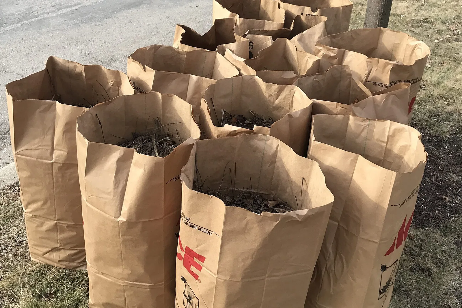
Trash and recycling pickup in Brentwood: haulers, brush, holidays
Brentwood has no city trash service: you hire a private hauler. Brush pickup is monthly and free; bulk-item cleanup days Oct. 24 and 31.
Featured
Trash and recycling pickup in Brentwood: haulers, brush, holidays
Brentwood has no city trash service: you hire a private hauler. Brush pickup is monthly and free; bulk-item cleanup days Oct. 24 and 31.
More in Local Info
 Brentwood
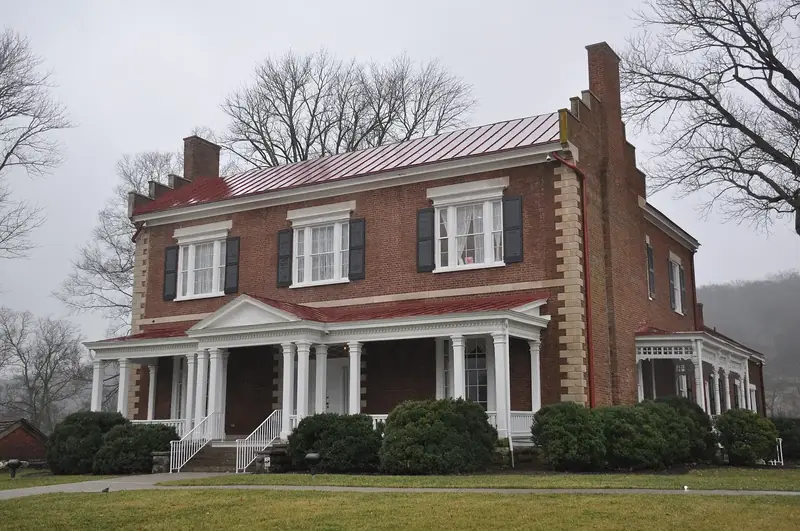
, Williamson County and the neighbors: who governs what
How Brentwood fits into Williamson County and Tennessee: the city, the county, Williamson County School District, the neighboring towns within 15 miles, and which one to call for what.
Brentwood
Brentwood, Williamson County and the neighbors: who governs what
How Brentwood fits into Williamson County and Tennessee: the city, the county, Williamson County School District, the neighboring towns within 15 miles, and which one to call for what.
 Property taxes
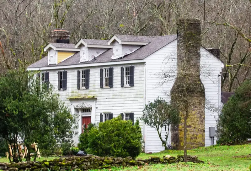
Williamson County property taxes: Brentwood rates, due dates
2026 Williamson County tax bills are out and due by Feb. 28, 2027. Brentwood's combined rate is $1.49 per $100 assessed. Trustee: 615-790-5709.
Property taxes
Williamson County property taxes: Brentwood rates, due dates
2026 Williamson County tax bills are out and due by Feb. 28, 2027. Brentwood's combined rate is $1.49 per $100 assessed. Trustee: 615-790-5709.
 Permits
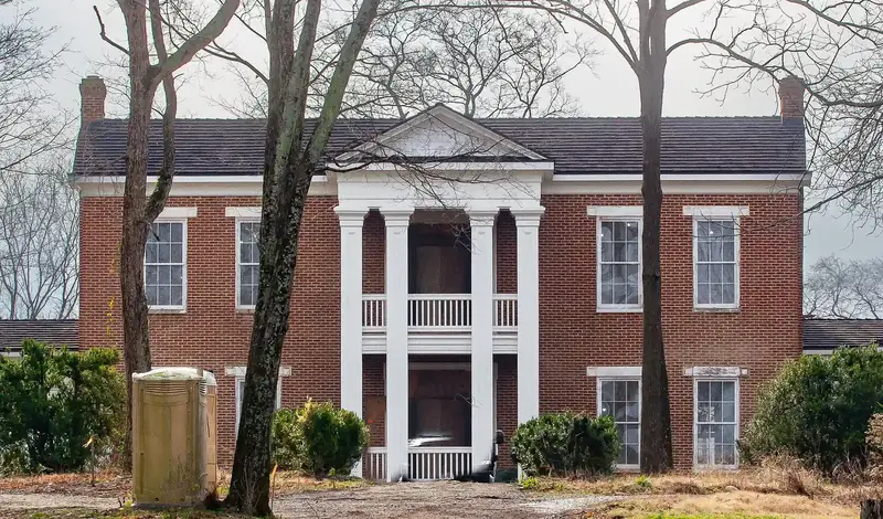
Building permits and zoning in Brentwood
Brentwood permits are filed online through the city's permit portal. Planning and Codes: 615-371-2204. Inspections: 615-661-7077, 24 hours.
Permits
Building permits and zoning in Brentwood
Brentwood permits are filed online through the city's permit portal. Planning and Codes: 615-371-2204. Inspections: 615-661-7077, 24 hours.
 Roads
Road construction and closures in Brentwood
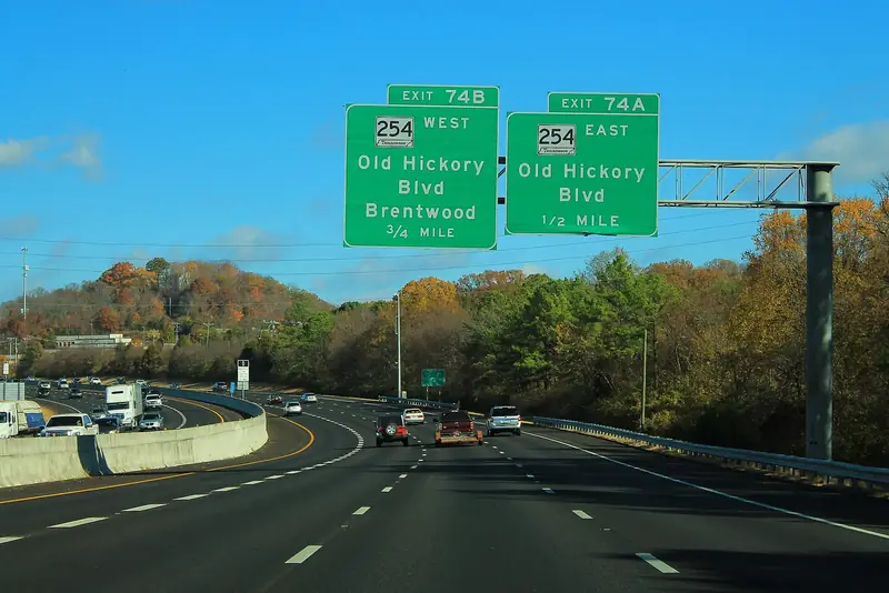
TDOT is resurfacing I-65 through Brentwood with lane closures 8 p.m. to 5 a.m. nightly through Dec. 31. Ragsdale Road widening runs to 2027.
Roads
Road construction and closures in Brentwood
TDOT is resurfacing I-65 through Brentwood with lane closures 8 p.m. to 5 a.m. nightly through Dec. 31. Ragsdale Road widening runs to 2027.
 Home prices
Brentwood home prices and housing market
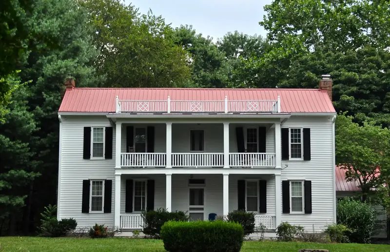
The typical Brentwood home was worth $1,388,985 in September 2026, up 4.1% in a year, Zillow says. Homes took a median 55 days to go under contract.
Home prices
Brentwood home prices and housing market
The typical Brentwood home was worth $1,388,985 in September 2026, up 4.1% in a year, Zillow says. Homes took a median 55 days to go under contract.
 Schools
Brentwood schools guide: districts, calendars and ratings
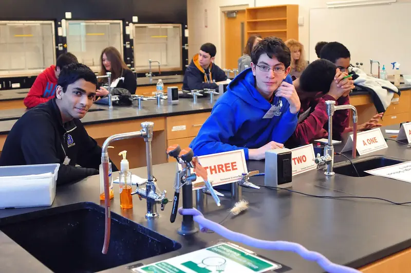
Brentwood's public schools are run by Williamson County Schools: two high schools, three middle schools, eight elementaries. Call 615-472-4000.
Schools
Brentwood schools guide: districts, calendars and ratings
Brentwood's public schools are run by Williamson County Schools: two high schools, three middle schools, eight elementaries. Call 615-472-4000.
 Things to do
 in Brentwood this month: October 2026
October in Brentwood: the library's Booktacular Oct. 24 and Halloween Bash Oct. 25, ROOTS Fall Fest Oct. 31 and PumpkinFest in Franklin Oct. 24-25.
Things to do
Things to do in Brentwood this month: October 2026
October in Brentwood: the library's Booktacular Oct. 24 and Halloween Bash Oct. 25, ROOTS Fall Fest Oct. 31 and PumpkinFest in Franklin Oct. 24-25.
 Voting
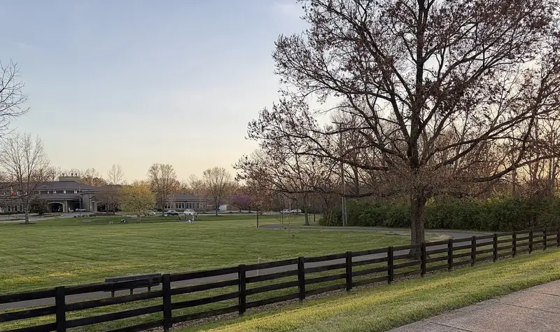
 in Williamson County: registration, polls, early voting
Early voting for the Nov. 3 election runs to Thursday, Oct. 29; Brentwood's site is the library on Concord Road. Polls open 7 a.m. to 7 p.m. Nov. 3.
Voting
Voting in Williamson County: registration, polls, early voting
Early voting for the Nov. 3 election runs to Thursday, Oct. 29; Brentwood's site is the library on Concord Road. Polls open 7 a.m. to 7 p.m. Nov. 3.
 Farmers markets
Brentwood farmers markets
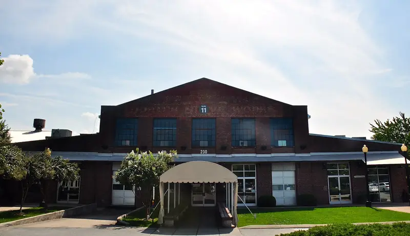
Brentwood's Farm Market Fridays run 11 a.m. to 2 p.m. at 1005 Flagpole Court. Franklin's two Saturday markets are about seven miles south.
Farmers markets
Brentwood farmers markets
Brentwood's Farm Market Fridays run 11 a.m. to 2 p.m. at 1005 Flagpole Court. Franklin's two Saturday markets are about seven miles south.
 Parks
Parks and trails in Brentwood
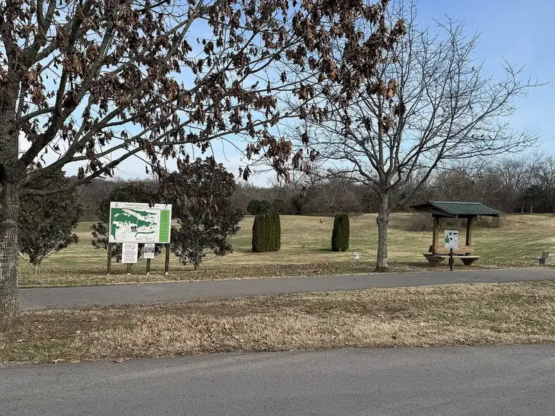
Brentwood runs 1,027 acres of parks and greenways, from Crockett Park to the 400-acre Smith Park with six miles of trails. Parks office: 615-371-0080.
Parks
Parks and trails in Brentwood
Brentwood runs 1,027 acres of parks and greenways, from Crockett Park to the 400-acre Smith Park with six miles of trails. Parks office: 615-371-0080.
 Restaurants
Restaurant inspection scores in Williamson County
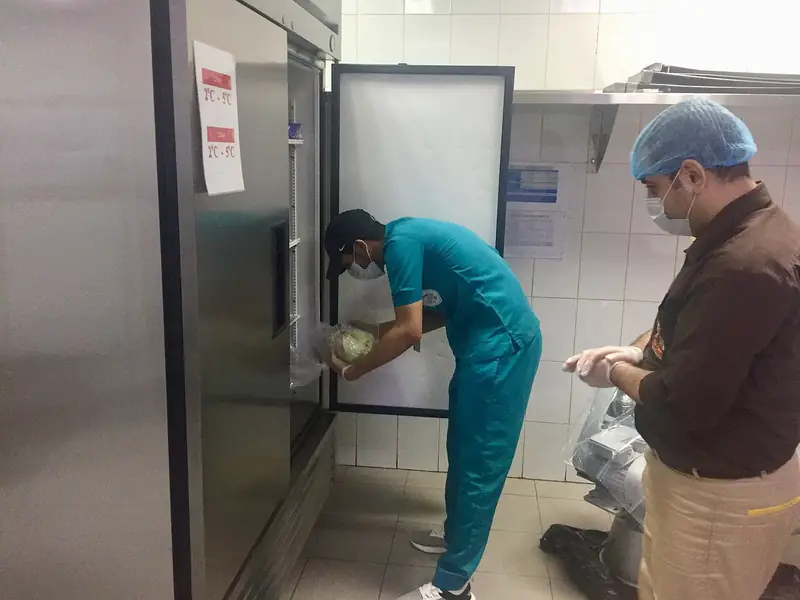
Brentwood restaurants are inspected by the Tennessee Department of Health. Look up any inspection report online; complaints: 800-293-8228.
Restaurants
Restaurant inspection scores in Williamson County
Brentwood restaurants are inspected by the Tennessee Department of Health. Look up any inspection report online; complaints: 800-293-8228.
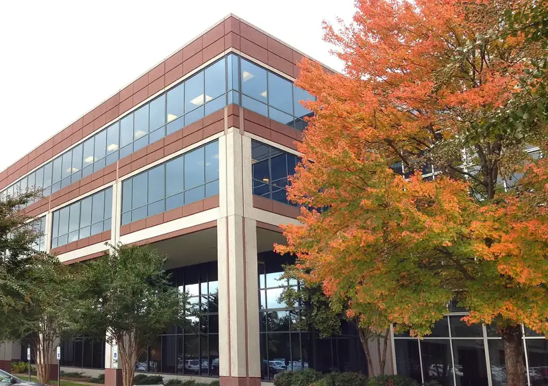 Business
New businesses in Brentwood: October 2026
New in Brentwood: TownePlace Suites on Brentwood Boulevard, Tatum and Co. Dental on Moores Lane, and ribbon cuttings for UDig Nov. 9 and NG Windows Dec. 8.
Business
New businesses in Brentwood: October 2026
New in Brentwood: TownePlace Suites on Brentwood Boulevard, Tatum and Co. Dental on Moores Lane, and ribbon cuttings for UDig Nov. 9 and NG Windows Dec. 8.
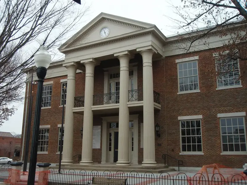 Public notices
 for Brentwood and Williamson County
An index of Brentwood and Williamson County public notices: city agendas, the Oct. 19 zoning appeals, a rezoning on Old Hickory Boulevard and the state notice site.
Public notices
Public notices for Brentwood and Williamson County
An index of Brentwood and Williamson County public notices: city agendas, the Oct. 19 zoning appeals, a rezoning on Old Hickory Boulevard and the state notice site.
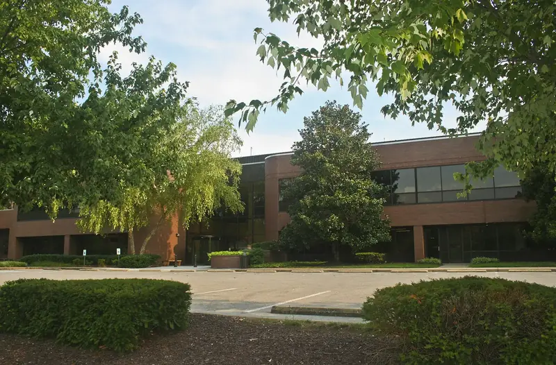 City Hall
Who to call at Brentwood City Hall
Brentwood City Hall: 615-371-0060, 5211 Maryland Way. Police non-emergency 615-371-0160. Water, streets and brush: 615-371-0080. Commission contacts.
City Hall
Who to call at Brentwood City Hall
Brentwood City Hall: 615-371-0060, 5211 Maryland Way. Police non-emergency 615-371-0160. Water, streets and brush: 615-371-0080. Commission contacts.
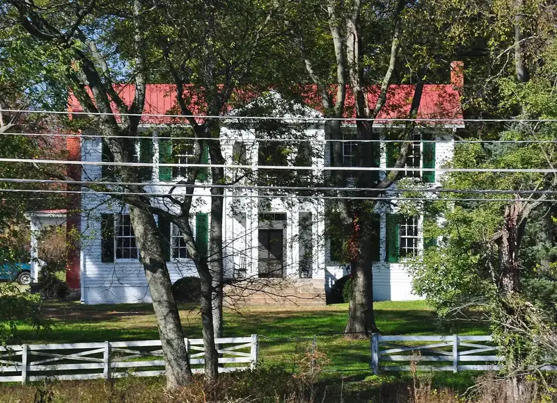 Power outages
 in Brentwood: who to call and outage maps
Brentwood has two power companies: NES, generally north of Concord Road (615-234-0000), and MTE, generally south of it (877-777-9020). Outage maps inside.
Power outages
Power outages in Brentwood: who to call and outage maps
Brentwood has two power companies: NES, generally north of Concord Road (615-234-0000), and MTE, generally south of it (877-777-9020). Outage maps inside.
 Population
Brentwood population and growth: Census figures and trends
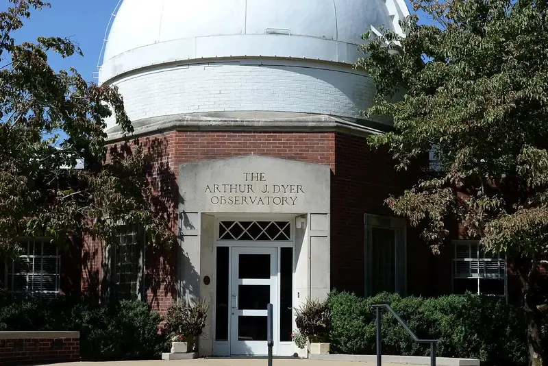
Brentwood had an estimated 45,313 people on July 1, 2025, the Census Bureau says, almost unchanged since 2020 after 22% growth from 2010 to 2020.
Population
Brentwood population and growth: Census figures and trends
Brentwood had an estimated 45,313 people on July 1, 2025, the Census Bureau says, almost unchanged since 2020 after 22% growth from 2010 to 2020.
 History
Brentwood history and landmarks: mounds, mansions, markers
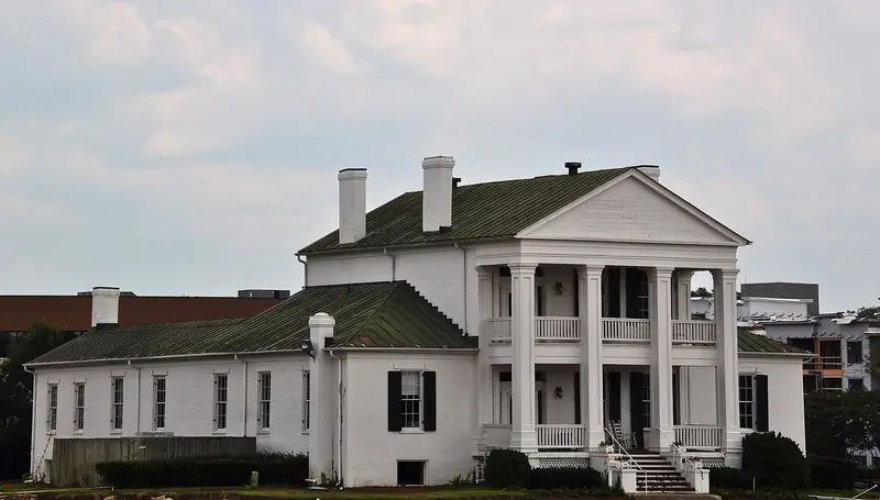
Brentwood was incorporated April 15, 1969. The 1863 Battle of Brentwood, Ravenswood, Boiling Spring Academy and every National Register listing.
History
Brentwood history and landmarks: mounds, mansions, markers
Brentwood was incorporated April 15, 1969. The 1863 Battle of Brentwood, Ravenswood, Boiling Spring Academy and every National Register listing.
 Moving
 to Brentwood: utilities, schools, trash, permits, taxes
New in Brentwood? Start water with the city (615-661-7061) or your utility district, power with NES or MTE, gas with Piedmont. Hire a trash hauler.
Moving
Moving to Brentwood: utilities, schools, trash, permits, taxes
New in Brentwood? Start water with the city (615-661-7061) or your utility district, power with NES or MTE, gas with Piedmont. Hire a trash hauler.
 Transportation
Getting around Brentwood: roads, transit, airport, parking
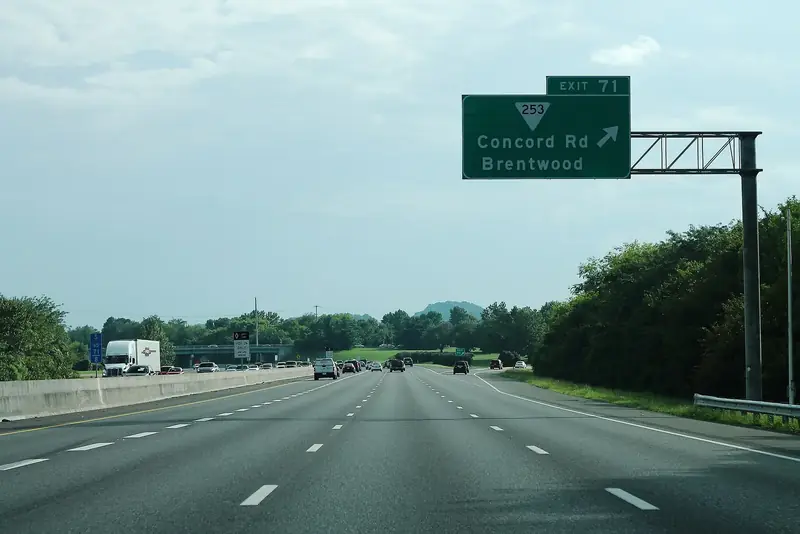
Brentwood's I-65 exits run from Old Hickory Boulevard (74) to Moores Lane (69). No WeGo bus stops in the city; the nearest commuter bus leaves Franklin.
Transportation
Getting around Brentwood: roads, transit, airport, parking
Brentwood's I-65 exits run from Old Hickory Boulevard (74) to Moores Lane (69). No WeGo bus stops in the city; the nearest commuter bus leaves Franklin.
 Neighborhoods
Brentwood neighborhoods: where to live and what each area is like
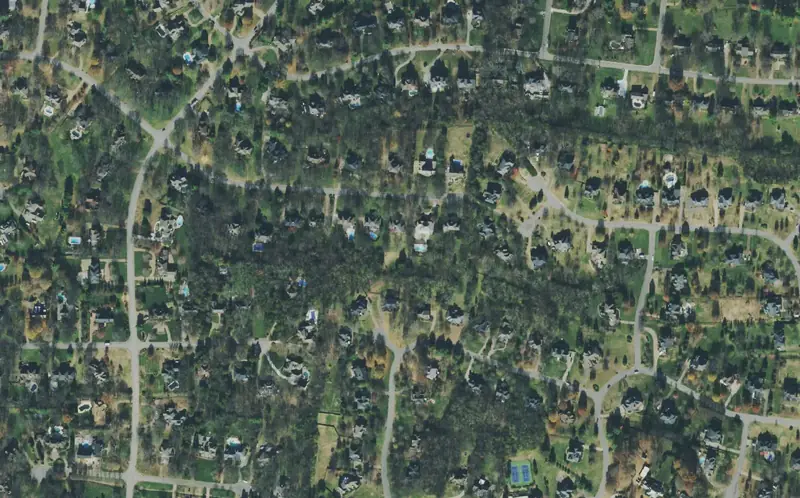
Brentwood's 10 main areas, from Town Center and Maryland Farms to Split Log Road, with zoned schools, parks and the ZIP 37027 Zillow home value.
Neighborhoods
Brentwood neighborhoods: where to live and what each area is like
Brentwood's 10 main areas, from Town Center and Maryland Farms to Split Log Road, with zoned schools, parks and the ZIP 37027 Zillow home value.
 Neighborhoods
Concord Road East and Bluff Road, Brentwood: homes, schools
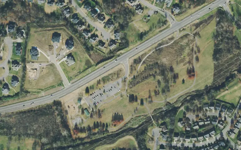
East Brentwood along Concord Road toward Nolensville Road, split among Brentwood, Ravenwood and Nolensville high school zones, with Owl Creek Park.
Neighborhoods
Concord Road East and Bluff Road, Brentwood: homes, schools
East Brentwood along Concord Road toward Nolensville Road, split among Brentwood, Ravenwood and Nolensville high school zones, with Owl Creek Park.
 Neighborhoods
Cool Springs and Moores Lane, Brentwood: homes, schools, stores
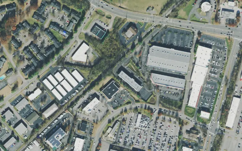
Brentwood's corner of Cool Springs at I-65 exit 69, where Brentwood Pointe is zoned for Franklin High and Mooreland Estates for Brentwood High.
Neighborhoods
Cool Springs and Moores Lane, Brentwood: homes, schools, stores
Brentwood's corner of Cool Springs at I-65 exit 69, where Brentwood Pointe is zoned for Franklin High and Mooreland Estates for Brentwood High.
 Neighborhoods
Crockett Park and Brenthaven, Brentwood: homes, schools, parks
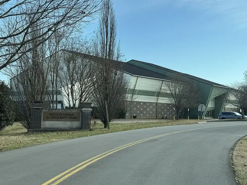
Central Brentwood around Crockett Park, split almost evenly between the Lipscomb-Brentwood High and Crockett-Woodland-Ravenwood school zones.
Neighborhoods
Crockett Park and Brenthaven, Brentwood: homes, schools, parks
Central Brentwood around Crockett Park, split almost evenly between the Lipscomb-Brentwood High and Crockett-Woodland-Ravenwood school zones.
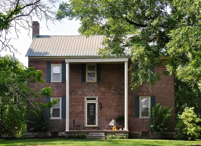 Neighborhoods
Edmondson Pike, Brentwood: homes, schools, parks and commute
Northeast Brentwood around Edmondson Elementary, from Chenoweth and Whetstone to Southern Woods West, zoned mostly for Brentwood Middle and High.
Neighborhoods
Edmondson Pike, Brentwood: homes, schools, parks and commute
Northeast Brentwood around Edmondson Elementary, from Chenoweth and Whetstone to Southern Woods West, zoned mostly for Brentwood Middle and High.
 Neighborhoods
Franklin Road and West Concord Road, Brentwood: homes, schools
West of I-65 from Brentwood Country Club to Willowick, zoned for Brentwood High with Scales or Lipscomb Elementary, near I-65 exit 71 and Wikle Park.
Neighborhoods
Franklin Road and West Concord Road, Brentwood: homes, schools
West of I-65 from Brentwood Country Club to Willowick, zoned for Brentwood High with Scales or Lipscomb Elementary, near I-65 exit 71 and Wikle Park.
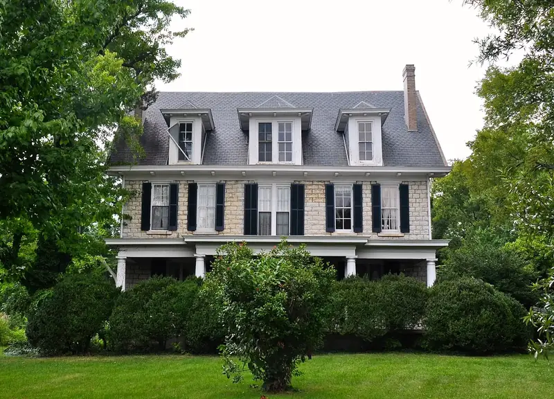 Neighborhoods
Murray Lane and Granny White Pike, Brentwood: homes, schools
Northwest Brentwood from Granny White Pike to Hillsboro Road, zoned for Scales Elementary and Brentwood High, with Granny White Park and Deerwood Arboretum.
Neighborhoods
Murray Lane and Granny White Pike, Brentwood: homes, schools
Northwest Brentwood from Granny White Pike to Hillsboro Road, zoned for Scales Elementary and Brentwood High, with Granny White Park and Deerwood Arboretum.
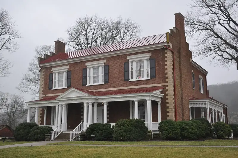 Neighborhoods
Raintree and Ravenwood, Brentwood: homes, schools, parks
South Brentwood on Wilson Pike and Raintree Parkway, home to Ravenwood High, Kenrose Elementary and 400-acre Smith Park, zoned mostly for Ravenwood.
Neighborhoods
Raintree and Ravenwood, Brentwood: homes, schools, parks
South Brentwood on Wilson Pike and Raintree Parkway, home to Ravenwood High, Kenrose Elementary and 400-acre Smith Park, zoned mostly for Ravenwood.
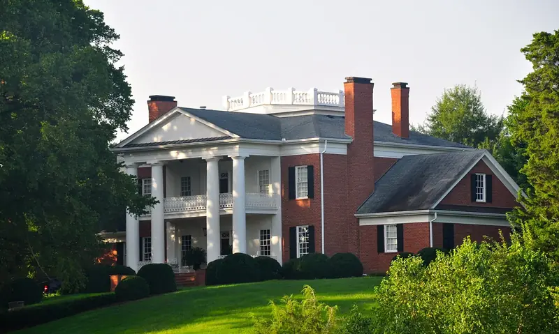 Neighborhoods
Split Log Road and Sunset Road, Brentwood: homes, schools
Southeast Brentwood from Governors Club to Brookfield and Tuscany Hills, zoned mostly for Jordan or Crockett Elementary and Ravenwood High.
Neighborhoods
Split Log Road and Sunset Road, Brentwood: homes, schools
Southeast Brentwood from Governors Club to Brookfield and Tuscany Hills, zoned mostly for Jordan or Crockett Elementary and Ravenwood High.
 Neighborhoods
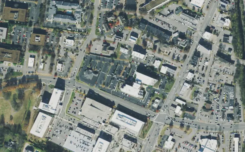
Town Center and Maryland Farms, Brentwood: homes, schools, parks
Brentwood's commercial center on Franklin Road, with apartments, older streets, Scales Elementary and Brentwood High zones and the ZIP 37027 home value.
Neighborhoods
Town Center and Maryland Farms, Brentwood: homes, schools, parks
Brentwood's commercial center on Franklin Road, with apartments, older streets, Scales Elementary and Brentwood High zones and the ZIP 37027 home value.
 Neighborhoods
Wilson Pike and Old Smyrna Road, Brentwood: homes, schools, parks
North-central Brentwood east of I-65, home to the library, River Park, Tower Park and Windy Hill Park, zoned mostly for Lipscomb and Brentwood High.
Neighborhoods
Wilson Pike and Old Smyrna Road, Brentwood: homes, schools, parks
North-central Brentwood east of I-65, home to the library, River Park, Tower Park and Windy Hill Park, zoned mostly for Lipscomb and Brentwood High.
 Brentwood
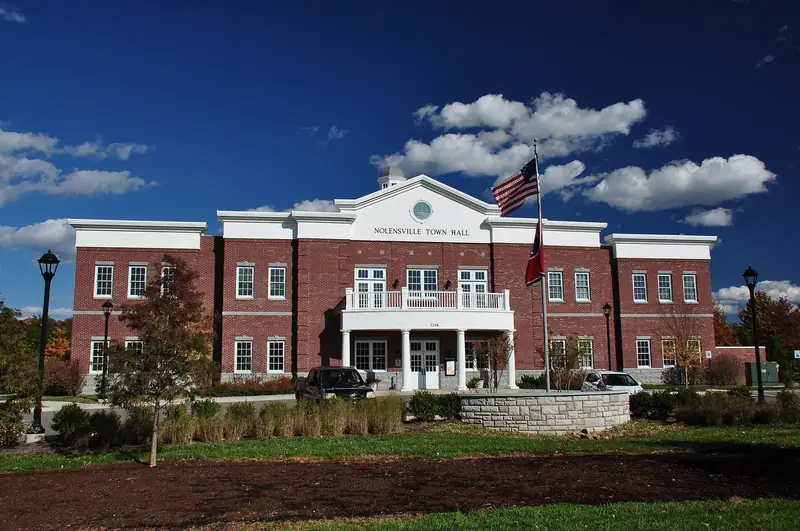
 vs Nolensville vs Franklin vs La Vergne: taxes, schools
Taxes, schools, home values, incomes, commutes and city services in Brentwood and its three nearest cities, from official rates and Census data.
Brentwood
Brentwood vs Nolensville vs Franklin vs La Vergne: taxes, schools
Taxes, schools, home values, incomes, commutes and city services in Brentwood and its three nearest cities, from official rates and Census data.
 Schools
Brentwood public schools: every school, zone and report card
All 15 Williamson County public schools that serve Brentwood, Tenn., with addresses, grades, enrollment, state letter grades and feeder schools.
Schools
Brentwood public schools: every school, zone and report card
All 15 Williamson County public schools that serve Brentwood, Tenn., with addresses, grades, enrollment, state letter grades and feeder schools.