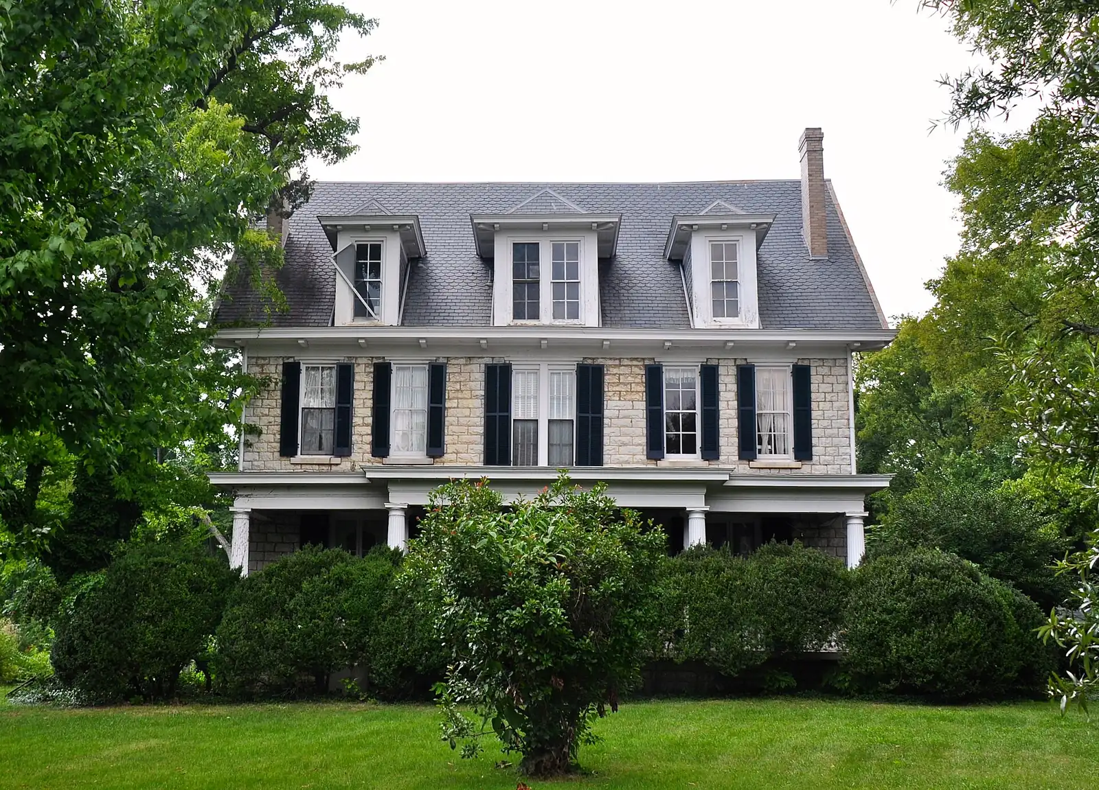
Northwest Brentwood from Granny White Pike to Hillsboro Road, zoned for Scales Elementary and Brentwood High, with Granny White Park and Deerwood Arboretum.
Last checked Oct. 18, 2026. Sources: the City of Brentwood’s subdivision and address layers, its Brentwood 2030 Plan and park pages; the 2023 Williamson County Schools boundaries on the City of Franklin’s planning map; the Tennessee Department of Education’s 2024-25 letter grades; Zillow Research; and OpenStreetMap.
Northwest Brentwood is the largest residential area in this guide by address count, about 2,250 homes on the city’s address map. It runs west from Granny White Pike and the Maryland Farms offices across Murray Lane to Hillsboro Road (U.S. 431) and the Davidson County line. Brentwood High and Brentwood Middle sit side by side on Murray Lane, with Scales Elementary farther west on the same road.
What this means for you
- Zoned high school: Brentwood High (graded B for 2024-25) for every address in the area, with Brentwood Middle (A) and, for 99% of addresses, Scales Elementary (B), in the 2023 boundaries.
- Home value: $1,220,331 in ZIP 37027 in September 2026, according to the Zillow Home Value Index.
- Nearest I-65 exit: exit 74 (Old Hickory Boulevard), about 4.2 miles by road.
Part of our Brentwood neighborhoods guide.
Where it is
For this guide the area covers the city west of the Maryland Farms offices and north of the Brentwood Country Club area: Granny White Pike on the east, Old Hickory Boulevard and the county line on the north, Hillsboro Road on the west, and Murray Lane and Holly Tree Gap Road through the middle. It is all in ZIP code 37027. The plan lists Murray Lane from Hillsboro Road to Beech Creek Road and Granny White Pike from the north city limit to Maryland Way among the city’s secondary gateways.
Homes
The city’s subdivision map names more than 50 subdivisions here. By number of residential addresses the largest are River Oaks (about 310), McGavock Farms (155), Meadow Lake (147), Foxland Hall (131), Hillview Estates (112), Belle Rive II (104), Windstone (99), Highland View, Wildwood Valley Estates, Belle Rive, Laurelwood, Landmark of Brentwood, Holly Tree Farms and Highlands of Belle Rive. OpenStreetMap also names many of them, such as Derby Glen, Deerwood, Belle Rive Highlands and Murray Lane Estates.
Schools
Grades are each school’s overall letter grade on Tennessee’s 2024-25 state report card; zones are the 2023 board-approved Williamson County Schools boundaries.
| Level | School | Address | 2024-25 grade |
|---|---|---|---|
| Elementary | Scales Elementary (99% of addresses) | 6430 Murray Lane | B |
| Middle | Brentwood Middle | 5324 Murray Lane | A |
| High | Brentwood High | 5304 Murray Lane | B |
A handful of addresses at the east edge are zoned for Lipscomb Elementary, 8011 Concord Road, graded A. Brentwood Academy, a private school, is at 219 Granny White Pike. Check one address in the WCS zoned school finder. More in our schools guide.
Home values
The typical home value in ZIP code 37027 was $1,220,331 in September 2026, up 4.3% from $1,169,780 in September 2025, according to the Zillow Home Value Index. The index is a modeled typical value for the middle third of homes, not a sale price, and 37027 covers the whole city, so it is not a figure for this area alone. The City of Brentwood figure was $1,388,985, up 4.1%. The 2025 property tax rate is the same across the city, $1.49 per $100 of assessed value, according to the Tennessee Comptroller. More in our home prices and property taxes guides.
Parks and trails
- Granny White Park, 610 Granny White Pike: 32 acres next to the middle and high schools, with an inclusive children’s playground, the Rotary Pavilion for up to 150 people, walking trails, a multipurpose field, four lighted tennis courts and lighted ball fields, according to the park page.
- Deerwood Arboretum and Nature Center, 320 Deerwood Lane: 27 acres on the river with paved and unpaved trails, ponds and an outdoor classroom, per the city.
- Margaret Hayes Powell Park, Virginia Way between the Tractor Supply headquarters and Granny White Pike: 22 acres with a mile of paved trail, a 0.4-mile wooded trail and two ponds, with walking access to Meadow Lake and Maryland Farms, according to the park page.
More in our parks and trails and walking and biking trails guides.
Getting around
- Interstate: I-65 exit 74 (Old Hickory Boulevard) is about 4.2 miles by road from the middle of the area; exit 71 (Concord Road) is about 4.6 miles.
- Town Center: about 3.7 miles by road to Franklin Road at Church Street East.
- Airport: about 14.8 miles by road to Nashville International Airport (BNA).
- Bus: WeGo Public Transit has no bus stop inside Brentwood; see our getting around guide.
Distances are measured on the OpenStreetMap road network with the OSRM routing engine from a home near the middle of the area; they are distances, not drive times.
Groceries and everyday stores
There is no supermarket inside the area. The nearest, from OpenStreetMap:
- Publix, 101 Creekside Crossing, off Maryland Way.
- Kroger, 210 Franklin Road.
- Walgreens, Franklin Road near Old Hickory Boulevard.
How we drew this area
The area is the part of Brentwood west of Granny White Pike and the Maryland Farms offices and north of the Brentwood Country Club area, following the roads the 2030 Plan names and the subdivisions on the city’s map, checked Oct. 18, 2026. Address counts and school shares are from the city’s address points and the 2023 WCS boundaries. Store locations are © OpenStreetMap contributors.
Frequently asked questions
What schools are zoned for River Oaks and Belle Rive in Brentwood?
In the 2023 Williamson County Schools boundaries, River Oaks, Belle Rive and the other subdivisions in northwest Brentwood are zoned for Scales Elementary, Brentwood Middle and Brentwood High. On the 2024-25 state report card, Scales and Brentwood High were graded B and Brentwood Middle A.
Where is Granny White Park in Brentwood?
At 610 Granny White Pike, next to Brentwood Middle and High schools. The 32-acre park has an inclusive playground, the Rotary Pavilion, walking trails, four lighted tennis courts and ball fields.
How far is Murray Lane in Brentwood from I-65?
From the middle of the area, I-65 exit 74 (Old Hickory Boulevard) is about 4.2 miles by road and exit 71 (Concord Road) about 4.6 miles.
Is northwest Brentwood a good place to live?
Here are the facts. The area along Murray Lane and Granny White Pike has about 2,250 residential addresses, Granny White Park, Deerwood Arboretum and Powell Park, and is zoned for Brentwood High, graded B for 2024-25; the typical home value in ZIP 37027 was $1,220,331 in September 2026, according to Zillow.
Have your say