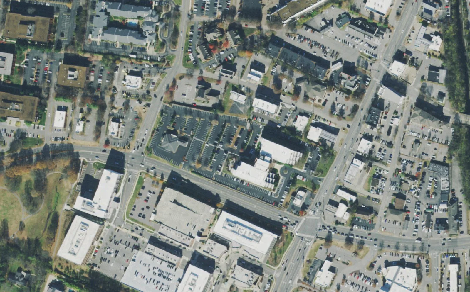
Brentwood's commercial center on Franklin Road, with apartments, older streets, Scales Elementary and Brentwood High zones and the ZIP 37027 home value.
Last checked Oct. 18, 2026. Sources: the City of Brentwood’s Brentwood 2030 Plan, its subdivision and address layers and park pages; the 2023 Williamson County Schools boundaries on the City of Franklin’s planning map; the Tennessee Department of Education’s 2024-25 letter grades; Zillow Research; and OpenStreetMap.
This is the part of Brentwood that works and shops. The city’s 2030 Plan says Brentwood’s original commercial center grew up “just south of Old Hickory Boulevard near Franklin Road,” now the C-4 Town Center zone, and spread about half a mile south to the Brentwood Place shopping center. It calls the result a “downtown” made of several centers: the Town Center streets, the Hill Center, CityPark, Brentwood Place and the Maryland Farms office park, which the plan calls “a key part of Brentwood’s economy.” City Hall is here too, at 5211 Maryland Way.
What this means for you
- Zoned high school: Brentwood High (graded B for 2024-25), with Scales Elementary (B) and Brentwood Middle (A), for every address in the area in the 2023 boundaries.
- Home value: $1,220,331 in ZIP 37027 in September 2026, according to the Zillow Home Value Index.
- Nearest I-65 exit: exit 74 (Old Hickory Boulevard), about 1.1 miles by road.
Part of our Brentwood neighborhoods guide. For shopping and dining, see Hill Center and Maryland Farms.
Where it is
For this guide the area covers the north end of the city west of I-65: Franklin Road (U.S. 31) from Old Hickory Boulevard, the Davidson County line, south past Church Street East and Maryland Way, and the Maryland Farms office park west toward the Meadow Lake streets. It is all in ZIP code 37027.
The 2016 update of the plan describes the Hill Center Brentwood redevelopment at the southwest corner of Franklin Road and Maryland Way as “a defining change in the character of the northern commercial area,” planned at 600,000 square feet of offices, shops and restaurants with two parking garages. It describes the older Town Center streets north of Maryland Way, such as Pewitt Drive and Town Center Way, as a collection of smaller buildings around parking lots, with a row of attached buildings on Town Center Way forming “a nascent ‘main street’ feel on the east side of Franklin Road.” The same plan notes that the Board of Commissioners removed homes as an allowed use in the C-4 Town Center zone.
Homes
Most of the area is offices and stores, but the city’s address map lists about 540 residential addresses here. About 390 of them are apartment units at 300 and 400 Centerview Drive; the plan names Tapestry among the residential projects in the downtown. The rest are houses and condominiums in older subdivisions on the city’s map, chiefly Iroquois Estates, Williamsburg Estates, Robinhood Estates and the east end of Meadow Lake.
Schools
Every address in the area is zoned for the same three Williamson County Schools in the 2023 board-approved boundaries. Grades are each school’s overall letter grade on Tennessee’s 2024-25 state report card.
| Level | School | Address | 2024-25 grade |
|---|---|---|---|
| Elementary | Scales Elementary | 6430 Murray Lane | B |
| Middle | Brentwood Middle | 5324 Murray Lane | A |
| High | Brentwood High | 5304 Murray Lane | B |
Check one address in the WCS zoned school finder. More in our schools guide.
Home values
The typical home value in ZIP code 37027 was $1,220,331 in September 2026, up 4.3% from $1,169,780 in September 2025, according to the Zillow Home Value Index. The index is a modeled typical value for the middle third of homes, not a sale price, and 37027 covers the whole city, so it is not a figure for this area alone. The figure for the City of Brentwood was $1,388,985, up 4.1%. Every home in the city pays the same 2025 property tax rate, $1.49 per $100 of assessed value, according to the Tennessee Comptroller. More in our home prices and property taxes guides.
Parks and trails
- Maryland Way Park, 5055 Maryland Way: 7 acres in the middle of Maryland Farms with a walking and jogging path and 11 exercise stations, open dawn to dusk to foot traffic only. It was the site of Brentwood’s first Fourth of July celebration and of the library before it moved to Crockett Park, according to the park page.
- Maryland Farms Greenway Trail: a paved trail through Maryland Farms from Powell Park to the WCRC Tennis Center, foot traffic only, per the city.
More in our parks and trails guide.
Getting around
- Interstate: I-65 exit 74 (Old Hickory Boulevard) is about 1.1 miles by road from the middle of the area; exit 71 (Concord Road) is about 3.1 miles.
- Town Center: about 0.6 miles by road to Franklin Road at Church Street East.
- Airport: about 11.6 miles by road to Nashville International Airport (BNA).
- Bus: WeGo Public Transit has no bus stop inside Brentwood. See our getting around guide for the nearest routes and park-and-ride lots.
Distances are measured on the OpenStreetMap road network with the OSRM routing engine; they are distances, not drive times.
Groceries and everyday stores
From OpenStreetMap:
- Kroger, 210 Franklin Road.
- Publix, 101 Creekside Crossing.
- Walgreens, Franklin Road, at the north end near Old Hickory Boulevard.
How we drew this area
The area is the north end of Brentwood west of I-65 that the 2030 Plan calls the downtown and the northern commercial area, with the Maryland Farms office park and the subdivisions named on the city’s map beside it, checked Oct. 18, 2026. Address counts are from the city’s address points. Store locations are © OpenStreetMap contributors.
Frequently asked questions
What schools is Brentwood Town Center zoned for?
In the 2023 Williamson County Schools boundaries, every address in the Town Center and Maryland Farms area is zoned for Scales Elementary, Brentwood Middle and Brentwood High. On the 2024-25 state report card, Scales and Brentwood High were graded B and Brentwood Middle A.
Can you live in Maryland Farms in Brentwood?
Maryland Farms itself is an office park, but the area around it has homes. The city’s address map lists about 540 residential addresses in this area, including about 390 apartment units at 300 and 400 Centerview Drive and houses in Iroquois Estates, Williamsburg Estates and Robinhood Estates.
What is the closest I-65 exit to Brentwood Town Center?
Exit 74, Old Hickory Boulevard, about 1.1 miles by road from the middle of the area. Exit 71, Concord Road, is about 3.1 miles.
Is Town Center a good place to live in Brentwood?
Here are the facts. The area is Brentwood’s commercial center, with a Kroger and a Publix, Maryland Way Park and the Maryland Farms Greenway Trail, zoned for Brentwood High, graded B for 2024-25; the typical home value in ZIP 37027 was $1,220,331 in September 2026, according to Zillow.
Have your say